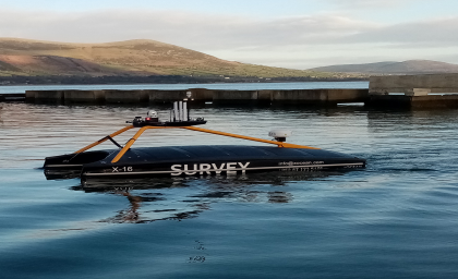
Enabling Cost-Effective, Sustainable Ocean Research
Traditional seafloor-mapping methods have become obsolete and incapable of keeping up with the demands of the global ocean economy.

Traditional seafloor-mapping methods have become obsolete and incapable of keeping up with the demands of the global ocean economy.

An Unmanned Aerial Vehicle (UAV) used to perform an essential NASA environmental mission required reliable communications capabilities to succeed in the harsh, remote Arctic.
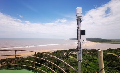
The terrain and tropical weather of South Africa’s eThekwini Municipality (including City of Durban) contribute to frequent, devastating flooding. The local government needs an early flood warning system to prevent loss of life and costly infrastructure damage.
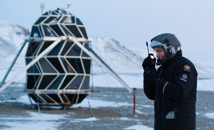
Research and test expeditions require reliable communications ensuring the safety and well-being of the explorers and their research.
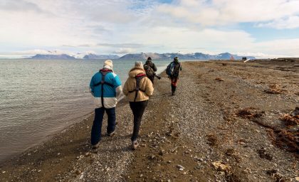
A remote Arctic island presents opportunities for innovative scientific research but is inaccessible and disconnected.

Home to many diverse peoples and wildlife, the Kenyan savannah is monitored by community rangers who historically had to rely on a patchy network of radio and cell towers to stay connected.
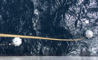
Meteorological research requires access to a constant stream of oceanographic data, including sensors located in oceans across the globe.
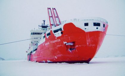
An arduous four month journey into the one of the most remote places on earth leaves this international team of researchers with unique communication needs.
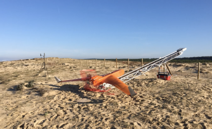
Connectivity limitations beyond line of sight prevent UAVs from collecting and transmitting key data related to predicting cyclones.