At A Glance:
-
The Challenge
Connectivity limitations beyond line of sight prevent UAVs from collecting and transmitting key data related to predicting cyclones.
-
The Solution
New UAVs equipped with ATMOSPHERE’s Iridium Connected® terminal can react in real-time to weather conditions and capture more data due to Iridium’s Global Line of Sight℠ (GLOS℠) services.
-
The Impact
With data from these Iridium Connected UAVs, scientists can more accurately model when and where cyclones will form, helping protect local populations.
- 12 scientific flights
- 54hours of operation
- 5,000kilometers traveled
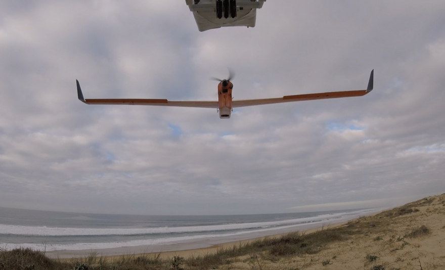
The Challenge
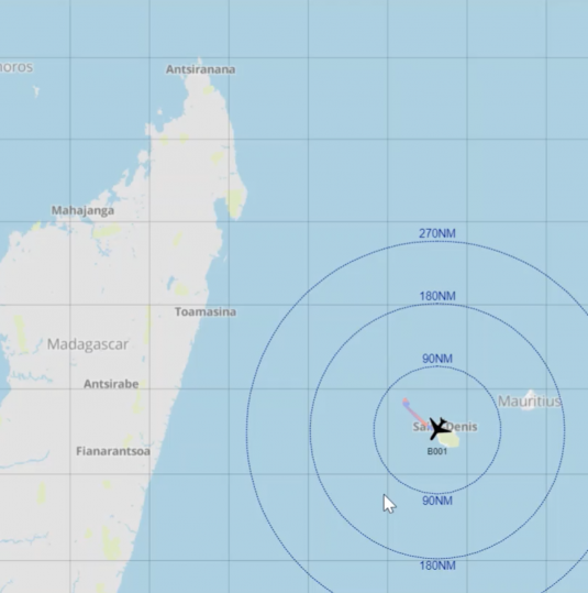
In the South-West Indian Ocean (SWIO), islands affected by cyclones lack the resources to protect themselves against cyclones as they happen. Instead, they rely on the scientific community to use weather data to accurately predict when and where cyclones will occur so they can take the necessary precautions.
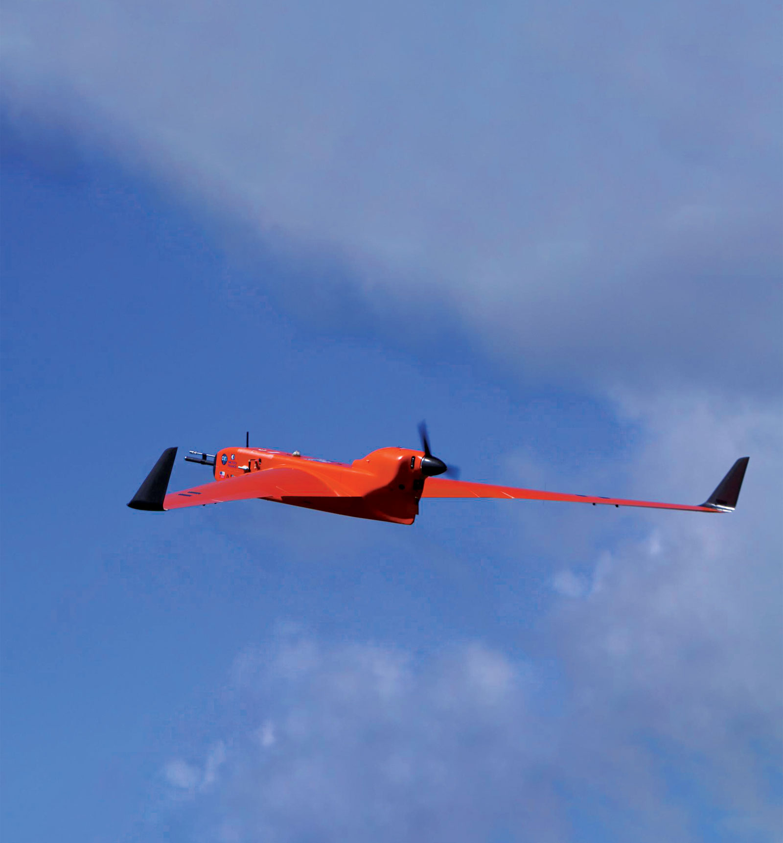
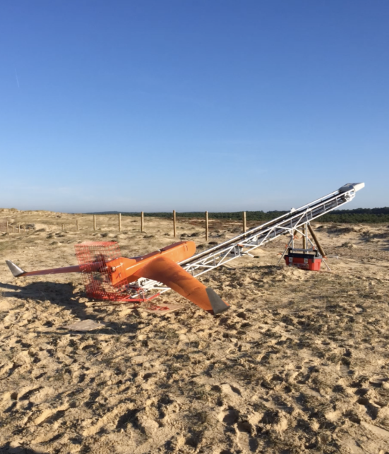
Scientists collect weather data using unmanned aerial vehicles (UAVs) to monitor altitudes where piloted aircraft cannot safely go. However, these UAVs have historically used integrated line-of-sight radios with a range of only 50 kilometers. Additionally, fast-moving storms can prevent the collection of data or risk the loss of a UAV.
The Solution
ReNovRisk, a project of the French National Meteorological Service and drone-manufacturer Boreal SAS, aimed to analyze the atmosphere over the Indian Ocean to improve modeling around cyclone formation.
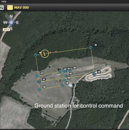
Rather than traditional radio connection, the BOREAL UAVs used Iridium Connected PLANET Terminal from ATMOSPHERE, built using the Iridium Core 9523 transceiver. By utilizing Iridium’ GLOS services, scientists were able to create a reliable and Global Line of Sight to the UAVs, allowing them to transmit weather data over greater distances and allow for real-time changes to flight paths to avoid storms.
The Impact
Over the course of their two-month mission, the Iridium Connected drones performed 12 scientific flights, traveling more than 5,000 kilometers at heights up to 1,000 meters above sea level.
“Thanks to Iridium, we’ve gone into airspace no man has gone before. In addition to that, during flight operations, the UAV could be flexibly controlled in varying weather situations via Iridium connectivity.”
–Jean Marc Gaubert,
Managing Director of ATMOSPHERE
The flexibility of the UAVs and the reliability of the Iridium network helped researchers gather more precise weather data, critical for better understanding and predicting the SWIO tropical storms.
Want more info?
Get In Touch With Our Team