At A Glance:
-
The Challenge
Meteorological research requires access to a constant stream of oceanographic data, including sensors located in oceans across the globe.
-
The Solution
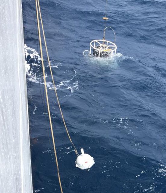
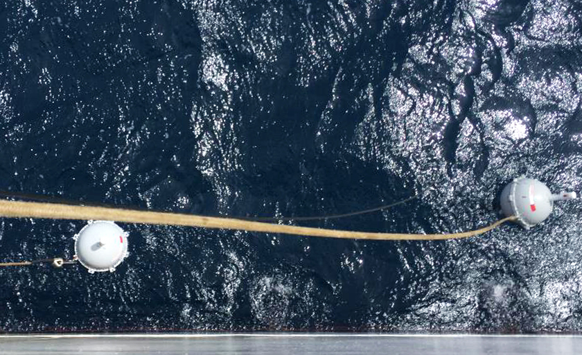
Iridium partner CLS designed and built buoys with the small, lightweight Iridium 9602 transceiver inside to enable real-time streams of ocean temperature data.
-
The Impact
The measurements collected by these buoys allow scientists to calibrate and validate satellite-based sensors that remotely monitor the ocean.
- 100Iridium Connected® buoys deployed
The Challenge
Space-based remote monitoring of ocean temperature, color, and height is a key part of meteorological research. The European Commission established the Sentinel satellite program in 2014 to gather these kinds of data in conjunction with existing data from weather balloons, land stations, floats, ships, and data buoys.
However, calibrating and validating this system requires real-time data from the ocean to ensure that the satellites are accurately measuring the data remotely. To this end, the European Organization for the Exploitation of Meteorological Satellites (EUMETSAT) funded TRUSTED, a project to create a network of more than 100 marine drifting buoys with high-resolution sensors to capture sample data for comparison with the remote satellite data.
The Solution
Iridium partner CLS, in collaboration with its partners, was awarded the contract to develop a new buoy system, called the Surface Velocity Platform drifter with Barometer and Reference Sensor for Temperature (SVP-BRST).
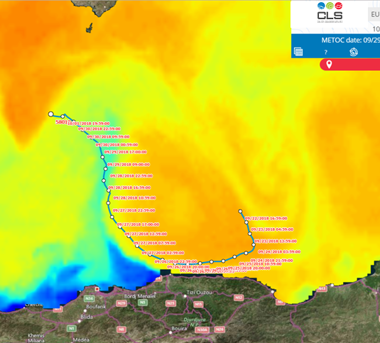
Using the Iridium 9602 transceiver and Iridium Short Burst Data® (SBD®) service, these buoys transferred High-Resolution Sea Surface Temperature (HRSST) data, as well as the buoy position to CLS who processed the information for use with the Sentinel system. The completely global coverage of the Iridium network was critical in confirming that the buoys were capturing an accurate, truly global sampling of oceanographic data. Further, Iridium SBD allowed for insight into real-time data regarding weather events and ocean disturbances as they happened.
The Impact
The data transmitted through the Iridium network validated the Sentinel system and confirmed the accuracy and consistency in remote ocean monitoring, the key goals of the TRUSTED project. The buoy prototypes were deployed in April 2018 and the full network of buoys was deployed over the course of 2019, providing data measurements for 18 months.
“Iridium is a crucial satellite system for the scientific community because weather and climate studies depend on accurate observations of environmental parameters coming from remote areas…Iridium will continue to be the satellite telemetry solution for data relay of the Copernicus TRUSTED project, thanks to real-time, global coverage, and high-volume capability of the Iridium SBD modems.
–Marc Lucas,
TRUSTED Project Manager, CLS
Because of Iridium’s unique ability to offer truly global coverage, real-time data transmission, and high-volume capacity, it continues to be the ideal satellite telemetry solution for meteorological and oceanographic data collection projects.
Want more info?
Get In Touch With Our Team
