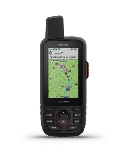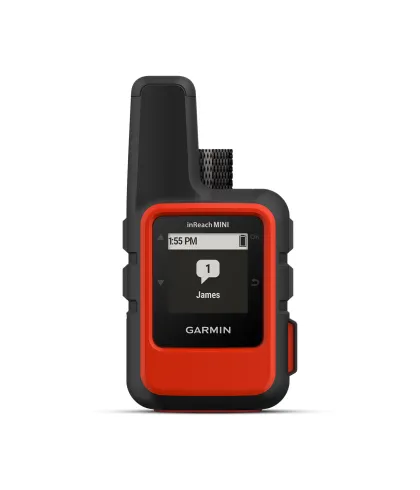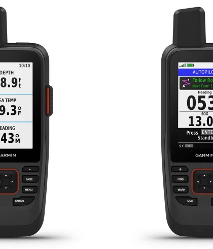

Two-Way Messaging
Exchange text messages with loved ones or post to social media using the global Iridium® satellite network. This feature ensures you remain connected even in remote locations, without relying on cellphone coverage.
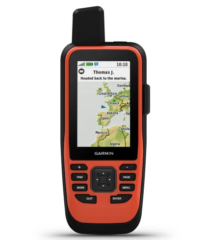
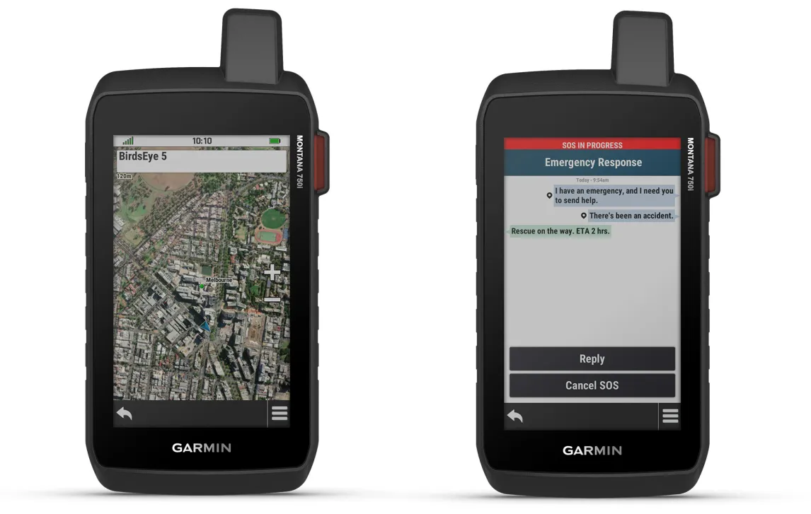
Interactive SOS Alerts
In emergencies, trigger an SOS to the Garmin International Emergency Response Coordination Center, a 24/7 staffed facility. This feature provides peace of mind with professional emergency support at your fingertips.
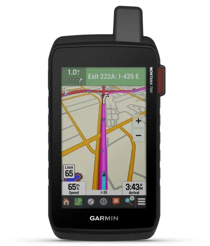
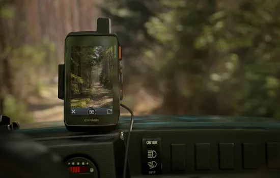
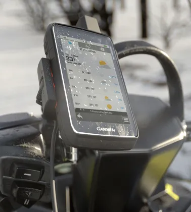
Rugged Design
Built to U.S. military standards, the Montana 750i is water-resistant and shockproof. Its glove-friendly 5” touchscreen is 50% larger than previous models, making it ideal for any outdoor adventure.
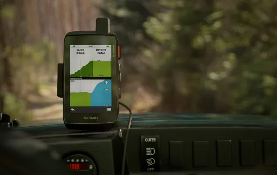
TopoActive Maps
Navigate your adventures with preloaded topographical maps for the U.S. and Canada. These maps provide detailed terrain contours, elevations, and landmarks to guide your journey.