Global Satellite Communication
With inReach satellite technology, stay connected globally by sending and receiving messages, navigating routes, and triggering SOS alerts via the Iridium® satellite network, independent of cellphone coverage.
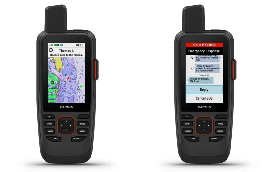
Interactive SOS Alerts
In emergencies, trigger an SOS to the Garmin International Emergency Response Coordination Center, a 24/7 staffed facility, ensuring professional assistance is just a message away.
Marine Weather Forecasts
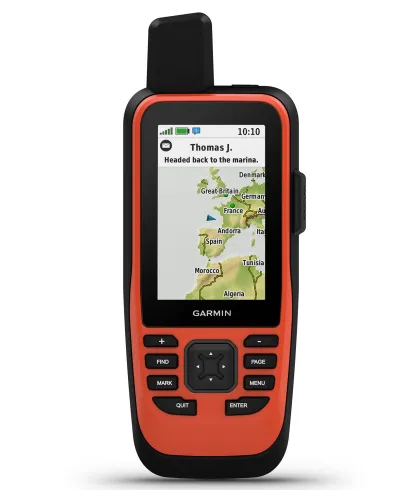
Access marine weather updates directly on the GPSMAP 86sci or compatible devices, allowing you to request forecasts for your current location or planned destinations, ensuring safe and informed travel.
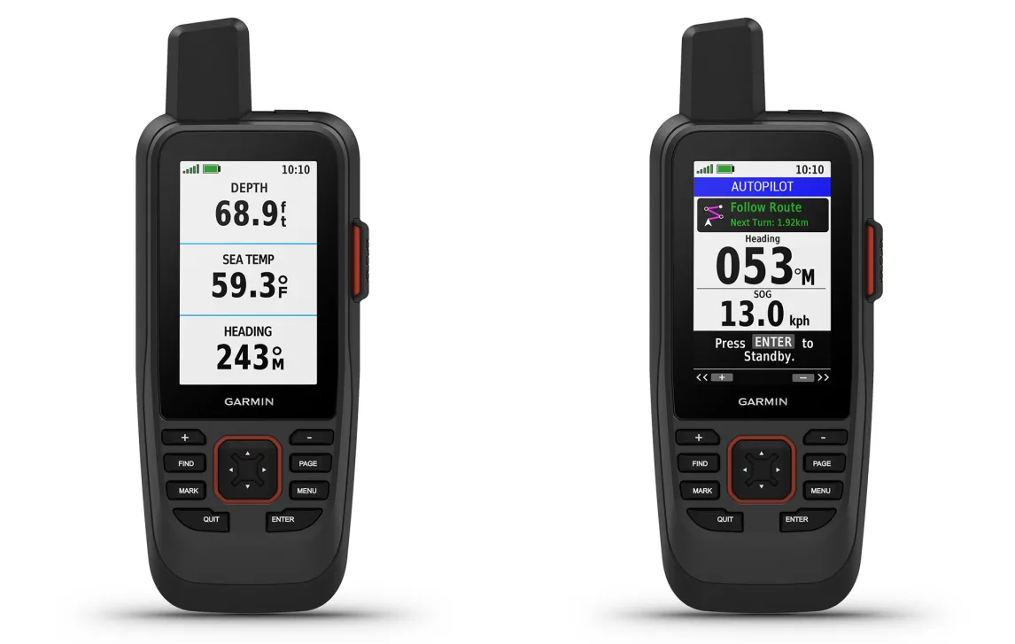
Real-Time Boat Data
Sync with compatible Garmin chartplotters to display real-time boat data on your handheld, providing critical information at your fingertips for enhanced navigation and control.