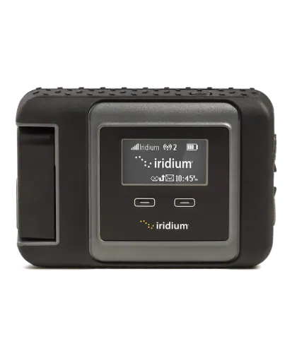
Iridium GO!® Compatibility
The app is designed to work in combination with Iridium GO!®, ensuring reliable connectivity and access to weather data even in remote locations. This integration empowers pilots with real-time information, enhancing decision-making and safety.
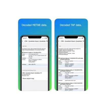
Comprehensive Weather Data
Access METAR and TAF data to stay informed about current and forecasted weather conditions. This feature provides critical information for flight planning and in-flight adjustments, ensuring pilots are well-prepared for any weather scenario.
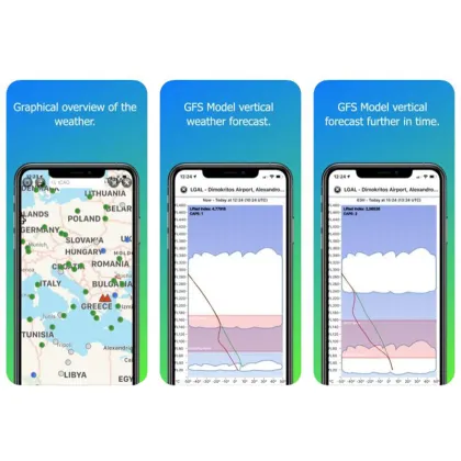
Advanced Weather Insights
Gain access to hard-to-find information such as freezing levels, dew points, and convective activity. These insights are crucial for understanding weather patterns and making informed decisions to ensure safe and efficient flights.