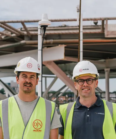
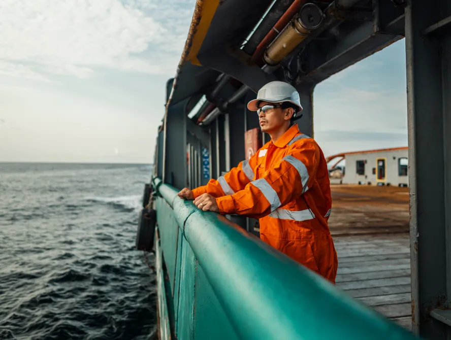
As the Chief Mate of the M/V Simon Stevin, Julien Salmain ensures teamwork among his crew as they lay stone foundations for undersea pipelines and cables, windmill foundations, and other projects.
Safety is paramount aboard the 200-meter Jan De Nul Group rock installation vessel – one of the two largest in the world, alongside her sister vessel, the M/V Joseph. During an emergency, every second counts, Julien said.
“You will have to act quickly and effectively,” he said, “so the easiest way to reach emergency services is the best.”

A mariner for nearly 20 years, Julien appreciates how safety equipment and services continue to become more user-friendly. Since 1999, the Global Maritime Distress & Safety System (GMDSS) has been the stalwart for oceangoing vessels to receive navigational, safety, and weather information via satellite from national Maritime Safety Information Providers (MSIPs) and coastal agencies. When in distress, crews use GMDSS to send alerts to Rescue Coordination Centers (RCCs) authorities. The RCCs communicate with the stricken vessel, coordinating resources that could aid in a rescue.
However, the geostationary satellites delivering GMDSS from the incumbent provider did not provide truly global coverage, with only Sea Areas 1-3 covered. Vessels operating in polar regions needed MF/HF equipment fitted for Sea Area A4 compliance. Additionally, a crew in distress could only send a GMDSS alert to an RCC using a text-based solution. This meant valuable information could be missed – and vital seconds lost.