- LRIT is a global satellite-based system for real-time ship identification and tracking.
- Ships automatically transmit their position at least every six hours and can be polled on-demand to report their current position.
- LRIT information is sent to the vessel’s flag administration and managed by the Application Service Provider (ASP) through data centers to fulfill LRIT requirements.
What Is Long-Range Identification and Tracking?
Which vessels need to comply with LRIT?
- All passenger and cruise ships, plus high-speed passenger craft.
- Cargo ships–including high-speed craft–of 300GRT and up.
- Mobile offshore drilling units.
Iridium Connected™ Standalone LRIT Terminals
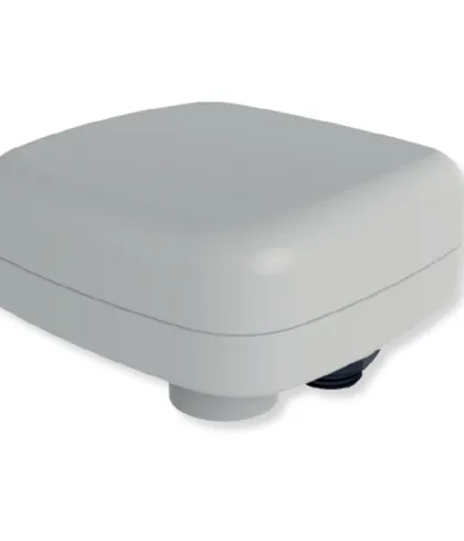
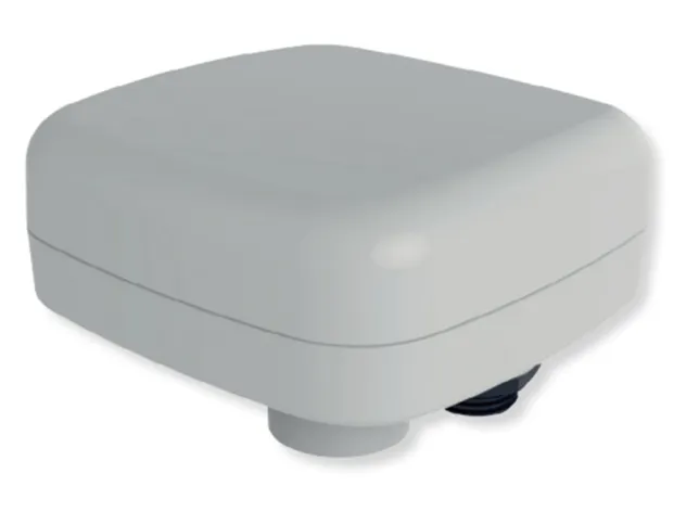
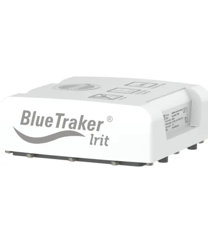
BlueTraker® LRIT
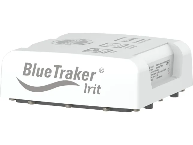
Reliable, truly global solution for all vessels
Long operating life
Predefined position information and on-demand position polling
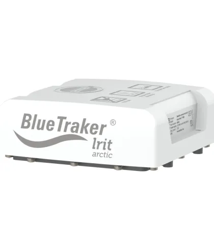
BlueTracker® LRIT Arctic
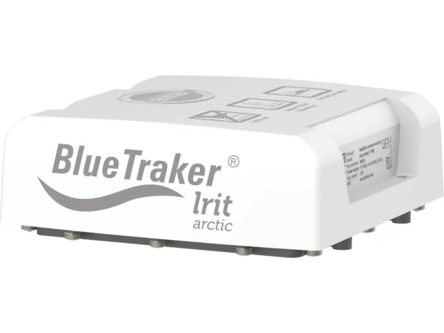
Double shell housing resists accelerated cooling
Works in Sea Area A4
Operation and cold start at temperatures as low as -50° C
Sirius One
Combines Iridium Short Burst Data® (SBD®), Vessel Monitoring System (VMS), and LRIT
Low-power combined GPS and GLONASS module
Works in all regions, including polar zones
LRIT Application Service Providers (ASPs)
CLS
LRIT Testing & Compliance of Iridium Equipment:
lrit.testing@fulcrum-maritime.com
lrit.testing@fulcrum-maritime.com
Fulcrum Maritime
LRIT Testing & Compliance of Iridium Equipment:
lrit.testing@fulcrum-maritime.com | Customer Support:
dcsupport@fulcrum-maritime.com
lrit.testing@fulcrum-maritime.com | Customer Support:
dcsupport@fulcrum-maritime.com
PoleStar
LRIT Testing & Compliance of Iridium Equipment & Customer Support: lrittesting@polestarglobal.com | LRIT Certification: lritcert@polestarglobal.com
Featured Products and Services
-
EMA D.O.O.
BlueTraker® LRIT
-
EMA D.O.O.
BlueTraker® LRIT Arctic
-
Polaris Electronics A/S
Sirius One