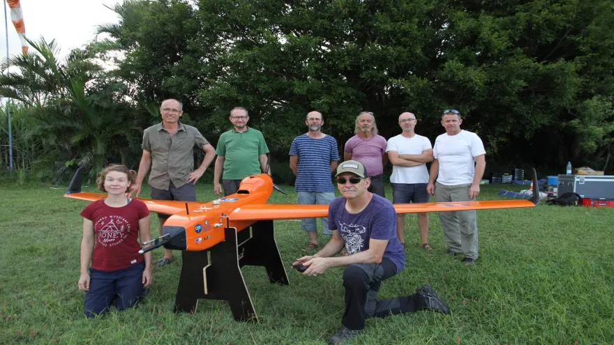
In the South-West Indian Ocean (SWIO), islands affected by cyclones lack the resources to protect themselves against cyclones as they happen. Instead, they rely on the scientific community to use weather data to accurately predict when and where cyclones will occur so they can take the necessary precautions.
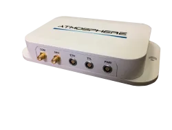
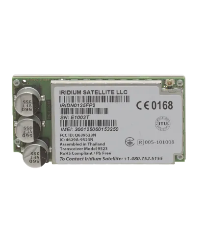
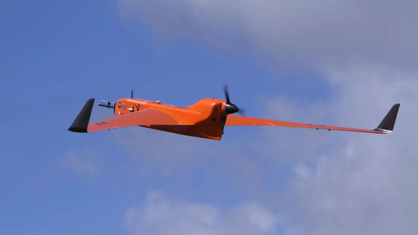
Scientists collect weather data using unmanned aerial vehicles (UAVs) to monitor altitudes where piloted aircraft cannot safely go. However, these UAVs have historically used integrated line-of-sight radios with a range of only 50 kilometers. Additionally, fast-moving storms can prevent the collection of data or risk the loss of a UAV.